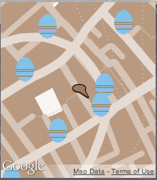
Shiver me timbers! The Google Maps Street View team has stumbled on an amazing find: a long lost treasure map belonging to the infamous pirate, William “Captain” Kidd! The map was found during a recent expedition in the Indian Ocean, as part of a deep-water dive to expand our underwater Street View collection. We’ve digitized the map and enlisted the world’s help to decipher the encrypted symbols and lead us to the hidden treasure.
We of course anticipate a mad rush as pirates and noble seafarers alike race to uncover and claim Captain Kidd’s bounty. The high seas are about to become dangerous. Arrr!
But don’t worry! Brendan, our head of pirate security, has placed GPS trackers on all pirate ships known to be after this treasure and has created a map tracking their locations in real time.
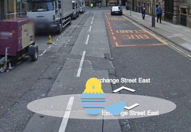
Now, obviously you’ll need more than just a pirate tracking map to find Captain Kidd’s treasure, and so we’ve made building your own app with Captain Kidd’s treasure map simple: just add treasureMode: 'aye' to the map options when creating a map using JavaScript Maps API v3.
Happy hunting!
In March 2010, we released the Geocoding API V3 web service, adding features such as a correctness measure and recommended viewports, to give developers more tools for creating amazing mapping applications. At that time, we also announced our intention to shut down V2 of the API in March 2013.
We’re hearing from many developers that they need more time for the transition to the Geocoding API V3. So, we’re extending the deprecation timeline for V2 by six months. This means the Geocoding API V2 will continue to work until September 8, 2013 and we will shut the API off on that date. If you’re a developer and have questions about migrating existing applications to Geocoding API V3, please see our handy upgrade guide for help.
Today we’re also reducing the limit on Geocoding API V2 from 15,000 requests per day to 2,500 requests per day, which is equivalent to the daily limit on the Geocoding API V3. If you are affected by this limit reduction and require more geocoding quota, please contact our sales team.
If you have questions about these changes, Google and the broader Google Maps developer community can help. Please tag your question with the “google-geocoding-api” tag on Stack Overflow.
Maps for Business customers will be unaffected by this change and will continue to be subject to their purchased limits.
Posted by Ken Hoetmer, Product Manager, Google Maps API
Give us feedback in our Product Forums.